Chapter 6: The Middle East — Blood, Oil, and Borders That Don't Work
The Middle East's borders were drawn by outsiders after World War I, cutting through tribal, ethnic, and religious lines. Add oil, holy cities, and water scarcity — geography made this the most contested region on Earth.
Explore more content
Browse our collection of courses and comics on topics that matter.
Browse ComicsTranscript
In 1916, the secret Sykes-Picot Agreement carved the Ottoman Empire. Artificial lines created Iraq, Syria, Jordan, ignoring diverse identities and ancient communities.
These new states forced Sunnis, Shias, and Kurds into uneasy coexistence. Imagine Iraq, a single nation, containing three distinct peoples unwilling to share.
Then came oil. The Persian Gulf, specifically the narrow Strait of Hormuz, became a global chokepoint. Twenty percent of the world's oil flows here.
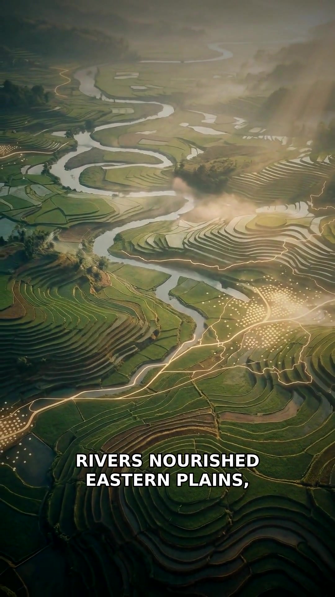
Water is another flashpoint. The Tigris, Euphrates, and Jordan rivers are shared by hostile nations. Turkey controls vital headwaters, impacting Iraq and Syria's survival.
And Israel and Palestine: a tiny strip of land, holy to three religions, claimed by two peoples. Strategically vital, it remains a perpetual flashpoint.
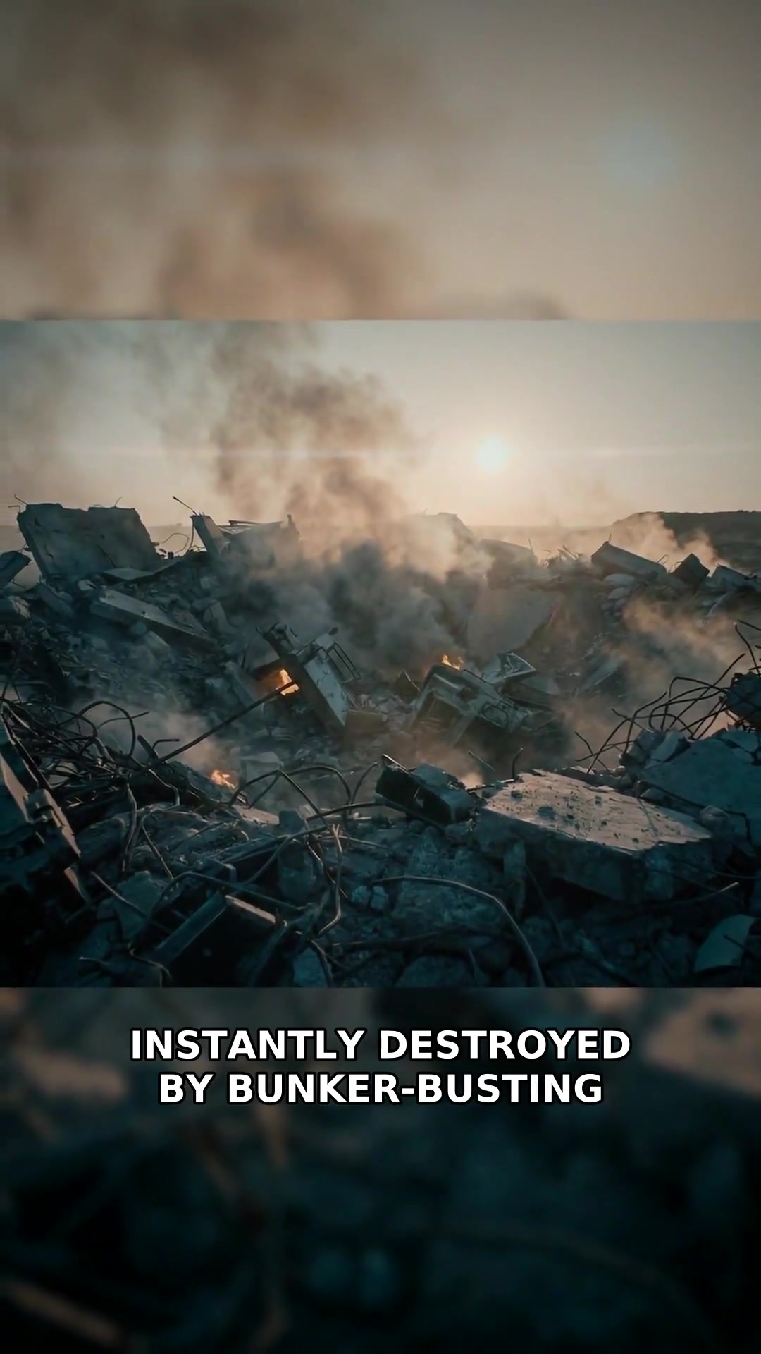
The region's cold war: Iran versus Saudi Arabia. Shia versus Sunni. Proxy conflicts rage across Yemen, Syria, and Lebanon, fueled by ancient religious divides.
Today, a complex web of ongoing conflicts, foreign military bases, and oil infrastructure defines the region. Geography ensures it remains the world's most dangerous chessboard.